The MAP Liberia Land Platform has concluded a round of county level convenings in the western region counties of Gbarpolu, Bomi and Grand Cape Mount; where decentralization activities are currently ongoing.
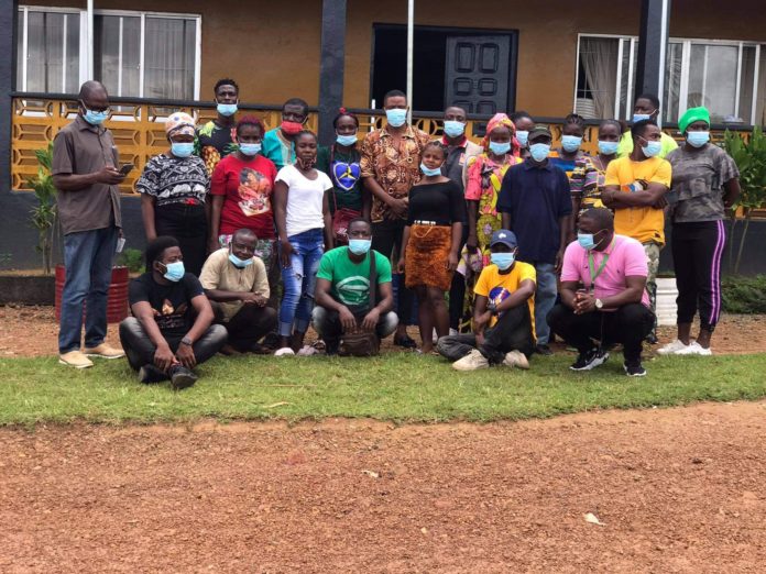
The Convening brought together county level actors from the government, private sector, academia, civil society organizations (CSOs) and community representatives.
The participants included Superintendents, Development Superintendents, District Commissioners and County Project Planners and were held in the administrative capitals of Bopolu, Tubmanburg and Robertsport on 6th, 8th and 11th of October 2021 respectively.
Prior to convening, MAP Liberia Land Platform carried out a number of introductory activities under its decentralization efforts in the western region which include the conduct of a regional assessment and sharing of its findings, and three capacity building workshops intended to strengthen the knowledge of key actors working in the land sector about the MAP Liberia Land Platform and Multi-Stakeholders Processes.
Also, the Platform had undertaken two sub-regional convenings and the successful establishment of an interim MAP committee/Core Group.
According to a release, these preliminary milestones are contributing to making initial progress in getting the actors together and creating the space for collaboration.
Primarily, the convenings were organized to educate county level actors from the various sectors (government, private sector, academia, CSOs and communities) about the platform, establish a forum for sector and organizational level representation on the platform, share information on the upcoming National Land Conference and document key recommendations and lessons for advancing the MAP.

Among other issues, a great outcome for the just ended convenings is that county level authorities have expressed interest in working with the MAP Platform while acknowleding the importance of their individual and collective roles.
About Map:
The MAP Liberia Land Platform is a nationally owned process initiated in February, 2018, by the Liberia Land Authority (LLA) and Civil Society Organizations (CSOs) spearheaded by Rights and Rice Foundation (RRF). The platform brings together various actors and stakeholders including land, environment and agriculture related agencies of government, private sector institutions, Civil Society Organizations, Community Based Organizations, Academia and Research Institutions; as well as international development partners.











Comments are closed.